Buying Land in Mills River: Practical Guide & Tips
February 19, 2026
February 19, 2026
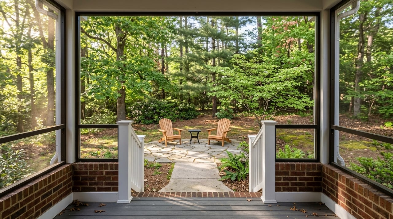
Dreaming of elbow room, privacy, and mountain air in Mills River? Buying land here can absolutely deliver that lifestyle, but it is a different journey than purchasing a finished home. You will need to confirm zoning, access, utilities, soils, and any environmental limits before you build. This practical overview shows you what to check, who to call, and the steps to take so you can buy with confidence. Let’s dive in.
Mills River sits in a beautiful part of Henderson County with a mix of town and county oversight. Parcels can vary widely in access, utilities, and buildability. That means your due diligence matters. You will want to verify zoning, legal access, driveway permits, water and sewer options or private well and septic, and any watershed or floodplain rules that affect how and where you can build.
Inside town limits, the Town of Mills River uses local zoning districts with clear standards, such as MR‑30, MR‑RR, and MR‑Mixed Use. Residential minimum lot areas in some districts are 30,000 square feet, and in others they are 1.5 acres. Always verify the parcel’s current district and dimensional rules in the Mills River Code.
The town is updating its rules through a Unified Development Ordinance. District names and standards may shift when the ordinance is adopted, so check the latest maps and timeline on the UDO project page before you rely on any assumption.
If a parcel lies inside Mills River’s municipal limits, town zoning applies. Henderson County rules apply in unincorporated areas, and the county also provides many permitting and inspections services for the town. For boundary confirmation and a quick snapshot of road ownership and nearby layers, use the county’s GIS resources. When in doubt, call both the town planning office and the county permit center to confirm which rules and processes apply to your site.
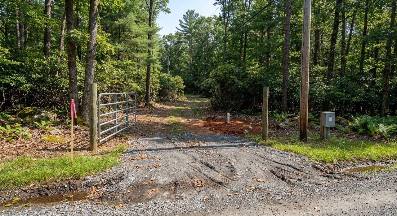
Before you fall in love with a piece of land, confirm that you can legally and safely reach it.
Public water and sewer are available in parts of Mills River through the City of Hendersonville, the City of Asheville, or the Metropolitan Sewerage District. Service areas are not universal, and capacity or extension policies can vary. Start by reviewing the town’s utilities summary, then call the listed providers to confirm connection options and any required upgrades.
If public lines are not feasible, plan for a private well and an onsite wastewater system. Henderson County Environmental Health regulates and permits both. A lot evaluation confirms septic feasibility and helps you plan setbacks and the drainfield location. Learn more or start the process with the county’s septic and well program.
Soils, bedrock depth, and slope can make or break a land deal. The USDA’s NRCS Web Soil Survey is a useful screening tool to view soil series, limitations, and preliminary septic suitability. You can run a free report for a specific parcel at the NRCS Web Soil Survey. Final permitting still requires onsite evaluation by the county. On steeper terrain or where stability is a concern, you may need input from a geotechnical engineer.
Parts of Mills River also fall within water supply watershed overlays that limit density and impervious cover to protect drinking water. If your parcel is in an overlay district, expect stricter stormwater controls and possibly larger effective lot sizes. Ask the town planning office to verify whether a watershed overlay applies to your site and how it impacts development.
Check FEMA’s Flood Insurance Rate Maps to see whether any portion of the property sits in a Special Flood Hazard Area. Being inside an SFHA can trigger local building standards, base‑flood elevation requirements, and flood insurance for federally backed loans. You can search by address using FEMA’s flood mapping portal.
If your site includes streams or wet areas, you may also need to consider federal jurisdiction. Wetlands and waters of the United States can require reviews or permits through the U.S. Army Corps of Engineers. A formal delineation or Jurisdictional Determination may be needed before ground disturbance. The Corps explains the basics here: Do I need a permit.
A recent boundary survey is essential when you buy land. It confirms acreage, boundaries, easements, and whether the lot was legally created. If you plan to subdivide or adjust lines, your final plat will need approval by the appropriate planning authority and recordation with the Register of Deeds. To research deeds, easements, and recorded plats, start with the Henderson County Register of Deeds.
Title work matters more with acreage. Ask your closing attorney for a title commitment and consider an owner’s title policy to protect against hidden defects or off‑record claims. That small step can save you significant time and cost if an old easement or right‑of‑way surfaces later.
Here is a simple process you can follow from first look to closing.
Land purchases often involve added soft costs and site work. Plan for a new survey, septic evaluation and system installation, well drilling if needed, driveway construction, possible NCDOT driveway improvements, utility line extensions, erosion control, and potential wetland or floodplain compliance. Costs vary by parcel, so request itemized quotes from utilities and contractors during due diligence. Lenders may require more money down for land than for a home, and terms can be shorter unless you combine land and construction financing.
When you buy land, small details can have big consequences. A local agent can help you read the GIS layers, coordinate surveys and evaluations in the right order, and keep communication flowing between the town, the county, and utility providers. That guidance helps you focus on lifestyle and layout while keeping risk in check.
Ready to walk acreage or dig into a specific parcel in Mills River? Connect with Amy Laughter for local guidance and a clear plan from first showing to closing.
Stay up to date on the latest real estate trends.


Our approach is grounded in the core values of hard work, integrity, and delivering exceptional client service. We are dedicated to providing a seamless and positive experience throughout the entire process.